Discover the river that separates Manhattan from the Bronx. Meet The Harlem River.
Photographer: Cristina Scherer
“For the past 10 years, people have been spotting seals visiting the Harlem River.”
Katie Friedman, Aquatic Ecologist, NYC Park
Where Is The Harlem River?
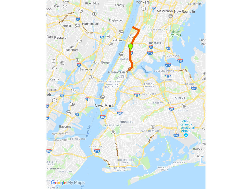
This watereway (outlined in red on the accompanying map) connects the Hudson River to the East River. This nearly 9-mile waterway flows between two bustling boroughs of New York City, Manhattan and the Bronx.
Don’t Be Fooled By The Name
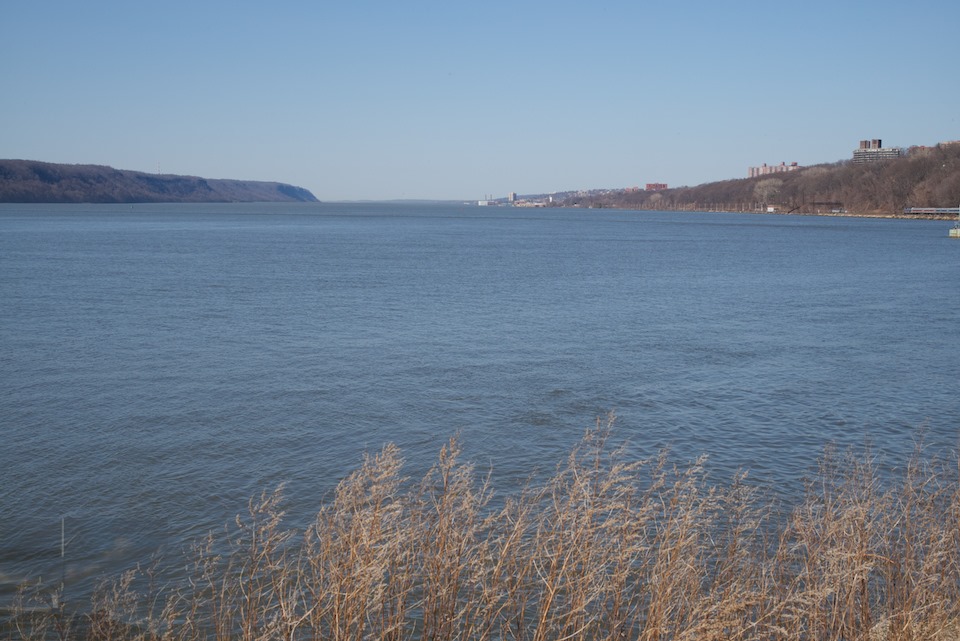
The river’s name is misleading; it’s not a true river. The “river” is actually a tidal strait, like Hell Gate, which means the current in the river fluctuates, at times dramatically, as the ocean’s tide ebbs and flows. I witnessed the shifting currents from two different points along the shore — first from Water’s Edge Garden on Randall’s Island, and second from Roberto Clemente State Park. Below are links to both of these spots, as well as other recommended places where you can experience this waterway.
What You Probably Don’t Know About the Harlem River, But Will Learn In This Episode
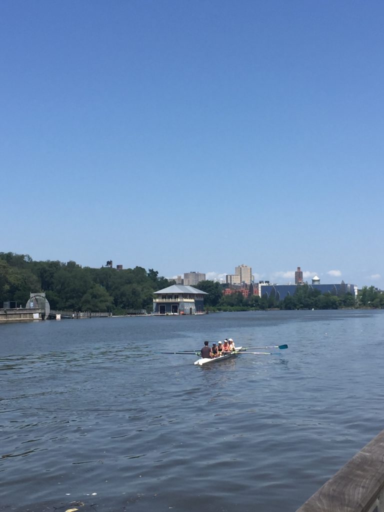
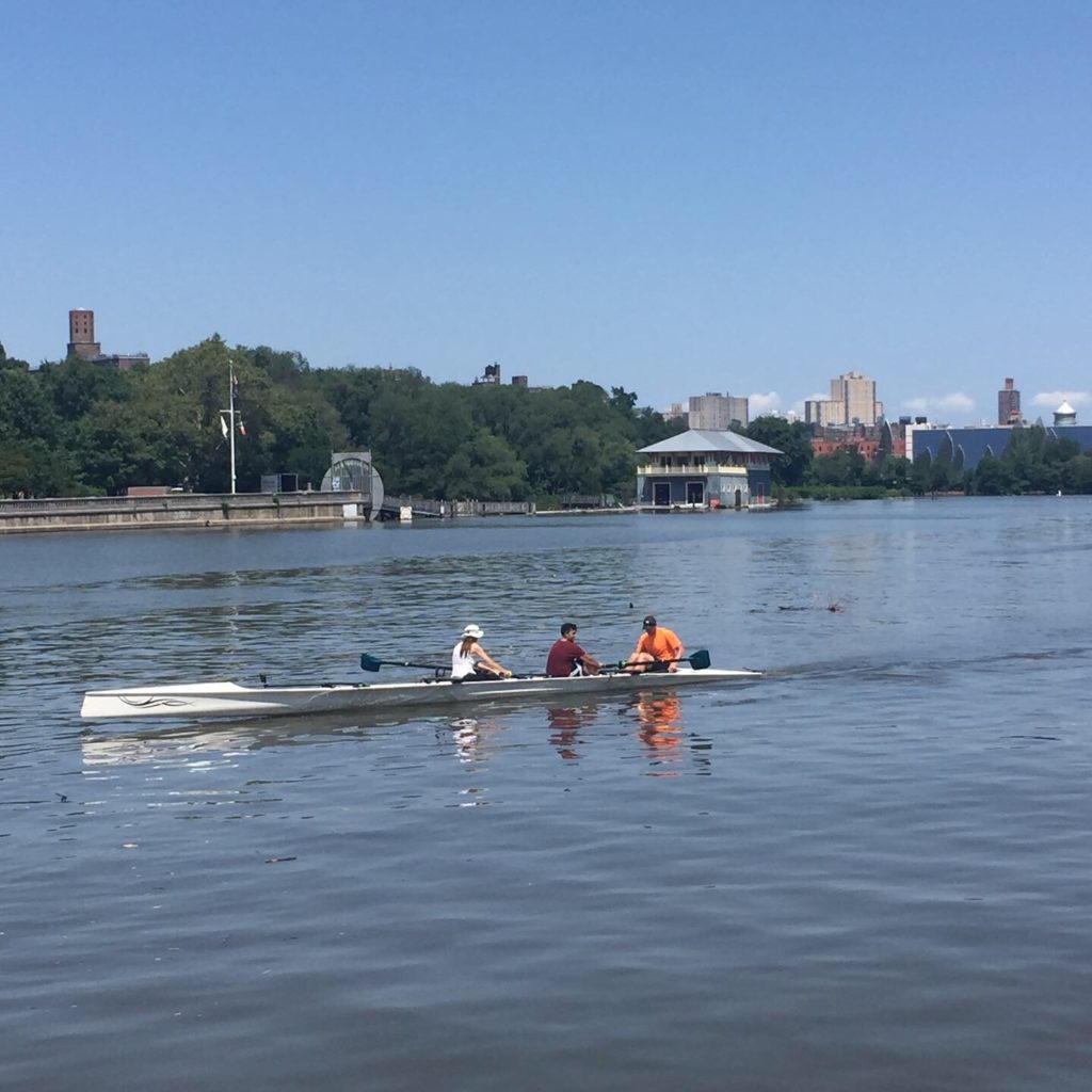
- This River was a birthplace of competitive rowing in the United States. At one point it was lined with more than 50 boat houses. Spectators lined the shores and placed bets on the races.
- Seals have been sited in the river for the past 10 years. As the marine environment improves and fish populations increase, seals are following the fish into the river. More than 15 species of fish live in the river.
- Multiple projects — and a multitude of people — are focused on reducing the amount of storm water that flows into the sewer system to prevent those sewer systems from overflowing into the river. The efforts are aimed at reducing the levels of bacteria and other pollutants that enter the waterway.
- This waterway offers multiple vantage points for photographers to practice their craft. Bridge’s like The Ward’s Island Bridge (also known as the 103rd Street Footbridge) and The High Bridge are favorites of two of my guests in this episode. Inwood Hill Park is another reccomended spot to enjoy the river and snap pics.
Who You’ll Meet In this Episode
- Bob Barnett: Bob is the president of Harlem River Community Rowing, an all-volunteer club that’s committed to providing affordable, accessible rowing on the river. The club is also championing the recreational use of the river.
- Katie Friedman: Katie is an aquatic ecologist for NYC Parks. In her role, she project manages the Harlem River watershed and natural resources management plan. If you’d like to email Katie, you can reach her at, Katie.Friedman@parks.nyc.gov Update: After speaking with me for this episode, Katie asked me to note that the 19 CSO outfalls on the river that she mentioned are on the Bronx side alone.
- Cristina Scherer: Cristina is a street photographer, and more recently a nature photographer. You can find some of her printed photographs at the Center for Optimal Performance and you can see a collection of her favorite Harlem River photographs in her Facebook album.
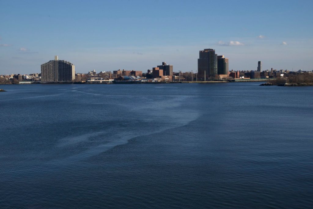
It captures her view of the river from Wards Bridge, looking south toward the East River and Queens. Listen to hear what else Cristina has to say about this scene.
Enjoy more of Cristina’s Harlem River Photos on Facebook.
Harlem River Websites and Resources
- Harlem River Community Rowing, and on Facebook (includes learn-to-row courses)
- Row New York (includes learn-to-row courses)
- Harlem River Watershed and Natural Resources Management Plan (scroll to bottom of page)
- Urban Waters Federal Partnership
- Water’s Edge Garden, Randall’s Island
- Inwood Hill Park
- The High Bridge
- The Ward’s Island Bridge
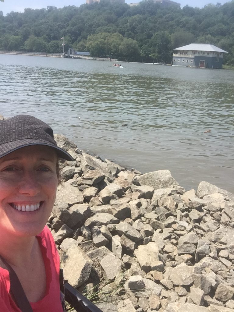
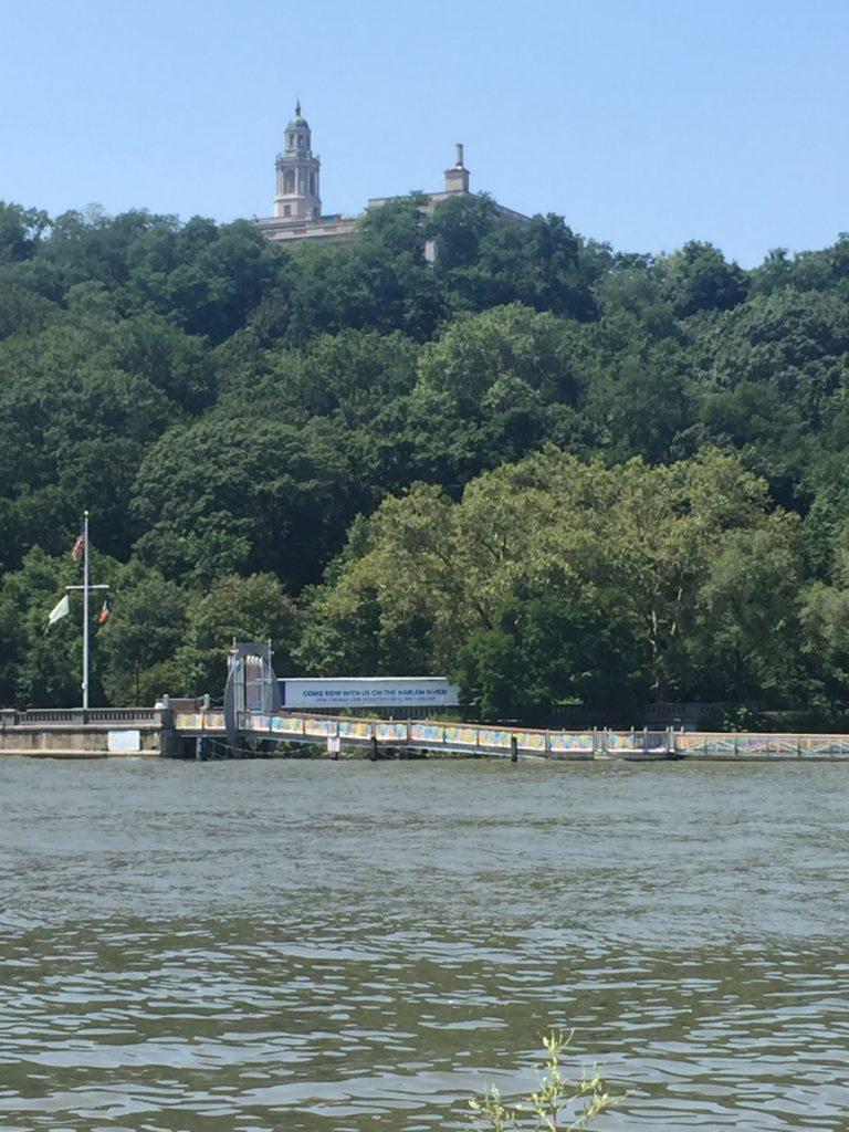
- Roberto Clemente State Park Below are some of the pictures of the river I took during my visit to the park.